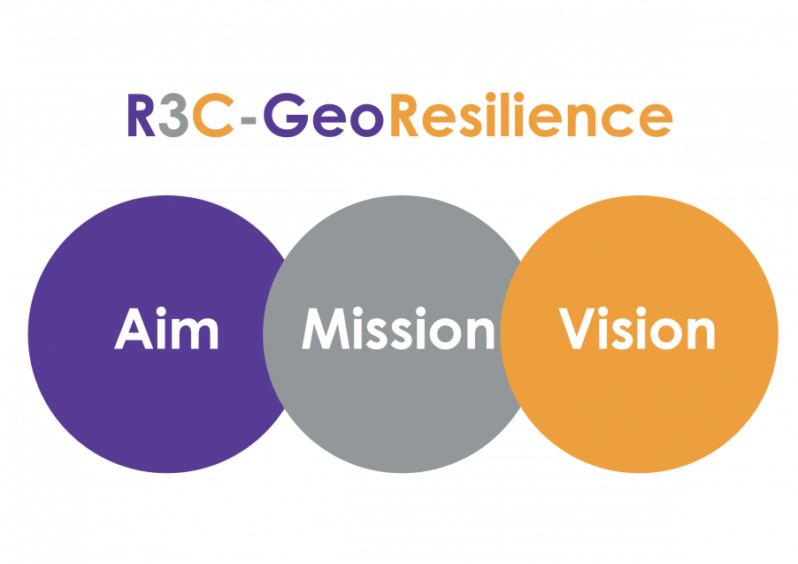
R3C-GeoResilience [ONGOING] | Mapping Territorial Vulnerabilities - Supporting Decision Making
Download:
R3C-GeoResilience Manual | English Version
R3C-GeoResilience Manual | Italian Version
Click here and Download the open-access publication

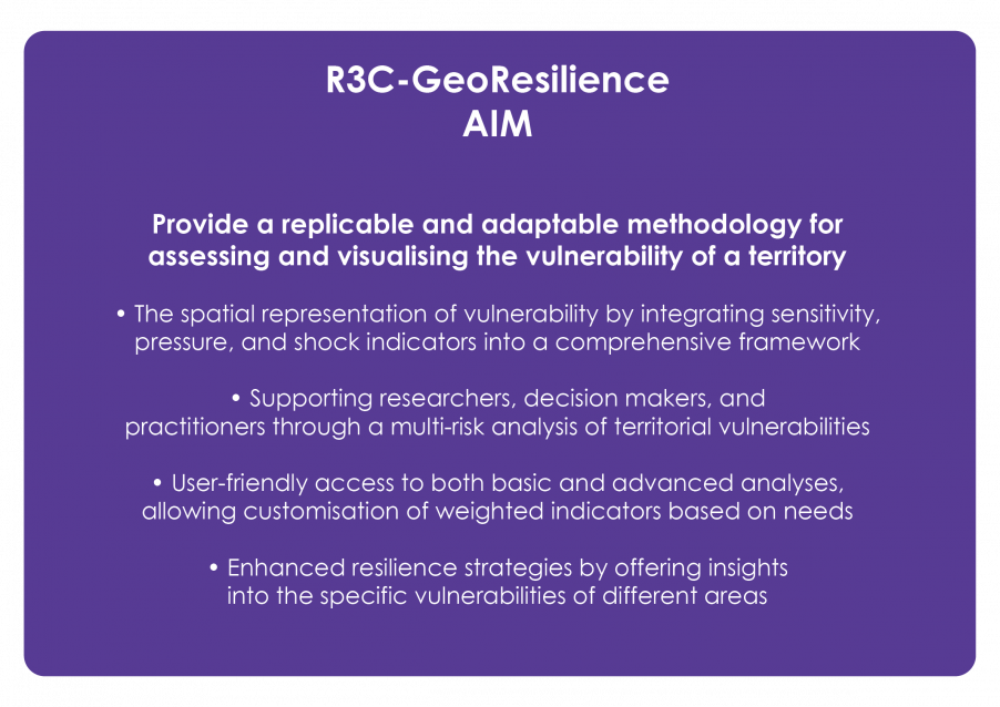
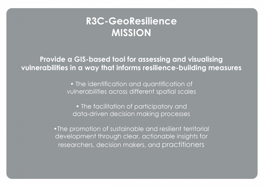
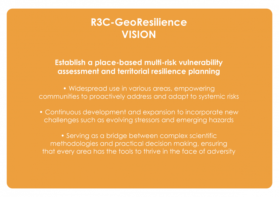
The R3C-GeoResilience is an open-source tool designed to assess territorial vulnerability through a comprehensive multi-risk analysis. Developed by R3C over the past years, it supports local decision makers in building resilience in their regions. Now available for download, the tool is user-friendly and accessible to a broad range of users.
The R3C-GeoResilience offers both a basic and advanced version, catering to different levels of expertise. The basic version enables researchers, decision makers, and practitioners to visualise territorial vulnerabilities from a standardised, non-weighted perspective. For more advanced users, the tool allows for custom weighting of indicators, providing a deeper, more tailored analysis of specific territorial challenges.
The main contribution of this tool is its ability to deliver a comprehensive assessment of the various vulnerability components within a territorial system. This not only raises awareness of vulnerabilities but also enhances the decision making process by equipping planners and decision makers with the knowledge needed to design adaptive policies and land-use plans. In doing so, it helps territories prepare for uncertainties and disruptions, fostering resilience.
R3C-GeoResilience Publications:
 Territorial Resilience: Toward a Proactive Meaning for Spatial Planning